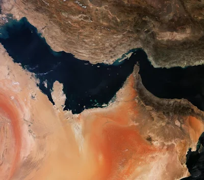
The European Space Agency has published a photo of the Persian Gulf, which is sometimes also called Arabic due to disputes.
In the picture around the bay in the center you can find many countries with which it borders. Iran’s mountainous terrain is displayed in shades of brown at the top of the photo. At the bottom you can see the UAE, Qatar, Saudi Arabia and other countries.
The picture was taken from the satellite Sentinel-3, which was launched as part of the global program GMES – to study changes in the planet in the field of nature and safety. Specifically, this satellite is responsible for exploring the oceans, land and ice sheets of the Earth.
